Converting Maps to Splines for Accurate Street Simulation
SPRING QUARTER 2025
6/2/2025
Converting Maps to Splines for Accurate Street Simulation
Creating realistic street networks for 3D simulations can be challenging, but there's a simple workflow that transforms real map data into precise spline curves. Here's how to do it in three easy steps.
The Process
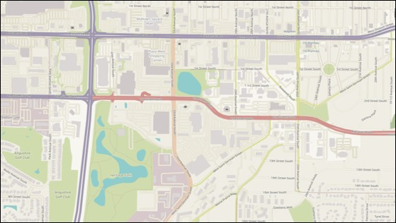
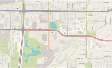
Step 1: Prepare Your Map Image
Start with a map image and use Sora (or similar AI tools) to process it. The goal is to create a clean, high-contrast image with:
White background
Black lines representing streets
Minimal noise and artifacts
This preprocessing step is crucial for accurate tracing later.
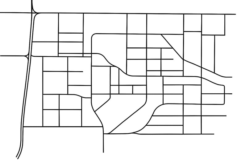
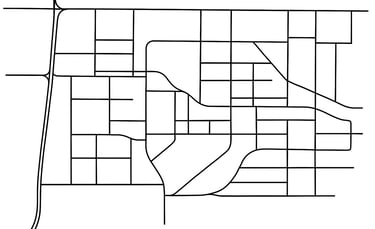
Step 2: Vector Tracing in Illustrator
Import your processed map into Adobe Illustrator and follow these steps:
Use the Image Trace function to convert the bitmap to vectors
Choose settings that capture the street lines accurately
Expand the traced paths to convert them into editable vector objects
Clean up any unwanted elements or stray points
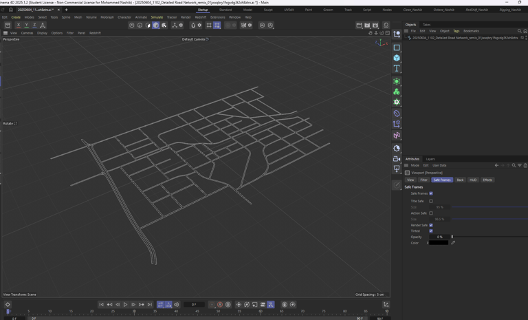
Step 3: Import to Cinema 4D
Export your vector paths from Illustrator (as AI or EPS format) and import them into Cinema 4D. The vector paths automatically become splines that perfectly match your original map layout.
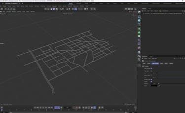
The Result
You now have a 3D scene with spline-based street networks that accurately represent real-world geography. These splines can be used for:
Vehicle path animation
Procedural building placement
Street lighting systems
Traffic simulation
Camera fly-throughs
Why This Works
This technique leverages the precision of vector graphics and the flexibility of 3D splines. The map provides real-world accuracy, while the spline format offers infinite creative possibilities for your 3D projects.
The entire process takes just a few minutes but delivers professional-quality results that would take hours to create manually.