Enhancing Building Details with AI and Google Maps
SPRING QUARTER 2025
6/4/2025
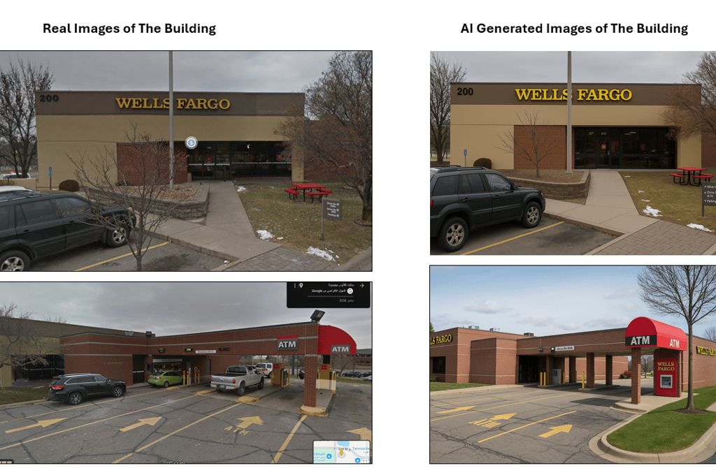
Understanding a building’s shape can be hard when street objects block the view. To solve this, first-person images were captured from ground level using Google Maps. These images showed the building from different street angles and helped reveal parts not visible in aerial views.
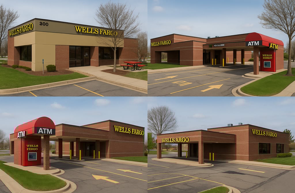
The images were uploaded to an AI tool (Sora), and a request was made to reimagine the building with better clarity. The goal was to get detailed, front-facing views with more accurate structure and materials.
The AI results showed clear improvements. Doors, windows, walls, and lighting were more visible. These outputs are now used as better references for 3D modeling and virtual scene creation.