Manual 3D Scanning Using Google Maps
SPRING QUARTER 2025
6/3/2025
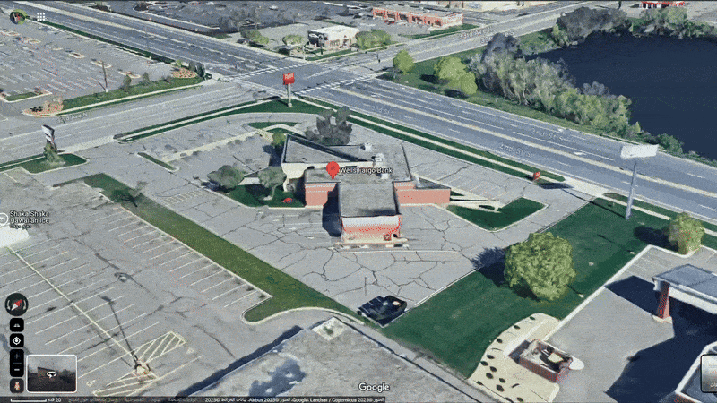
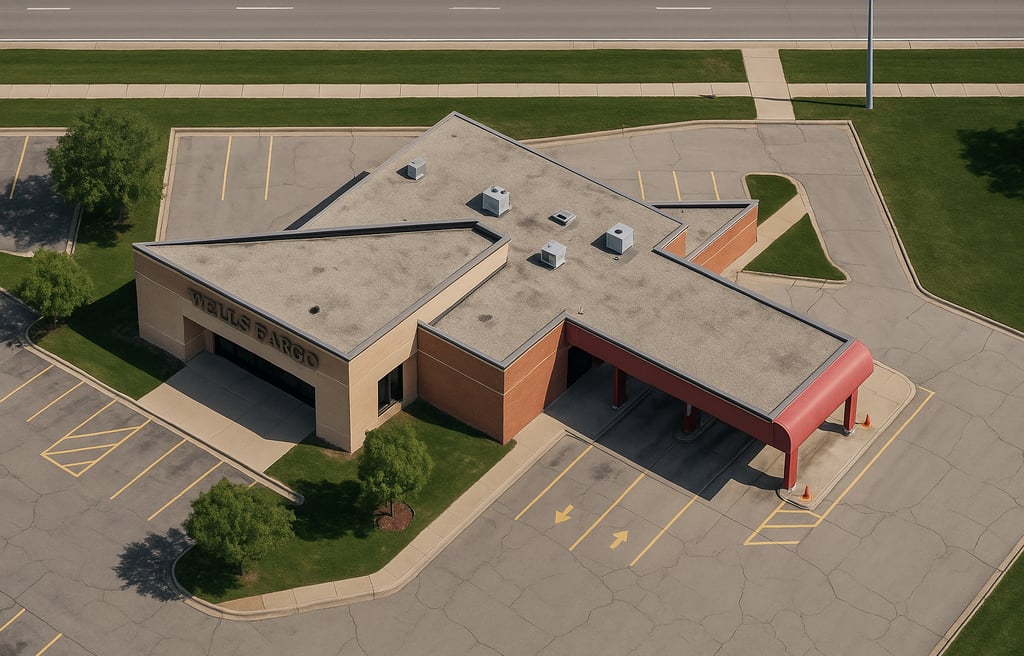
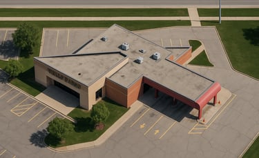
Creating 3D models usually needs expensive tools and physical access to buildings. But with a smart method, it’s possible to simulate a basic 3D scan using only Google Maps.
The process starts by entering the 3D view and Street View in Google Maps. Then, rotating around the target building allows for capturing screenshots from all sides—front, back, left, right, and even the top if available.
These images show important architectural details like windows, doors, and building shape. After collecting all views, the images are prepared for 3D modeling. They can be used in software for photogrammetry or as reference material.
This method helps simulate a real-world 3D scan without visiting the location or using a scanning device. It’s especially useful for remote modeling, research, or virtual reconstruction.